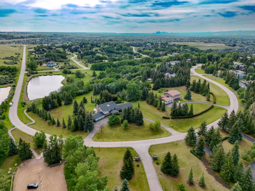
A listing can describe proximity to parks, pathways and amenities. A strong aerial photograph can show those relationships in one glance.
Context creates confidence
Drone imagery is especially useful for acreage, corner lots, new communities and homes close to natural features.